
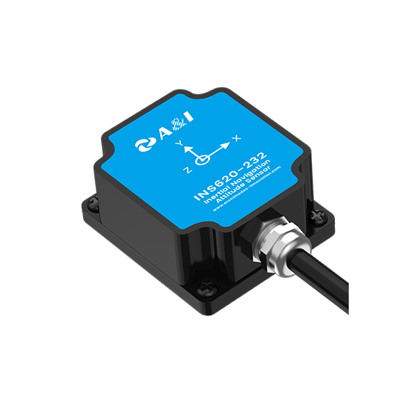
The problem — sensor drift and messy streets
Robots and self-driving rigs try hard out here, but they get punked by drift, noise, and concrete canyons. Raw MEMS gyros and accel sensors wander after a minute of hard work; GPS gets bounced off buildings. That’s where a solid rtk receiver comes in, but it ain’t a magic wand—systems gotta balance inertial readings with precise positioning to stop the machine from wandering. We talk about real fixes, not hype: IMU calibration, timing discipline, and practical kinematics—street-level engineering that actually keeps a vehicle on the planned line.
Why cheap sensors alone fold under pressure
Low-cost MEMS gear spits out jitter. On an empty field it’s tolerable. In Midtown it’s chaos. Multipath from glass facades fools satellite locks. Dead-reckoning without correction stacks error fast. You need sensor fusion that knows when to trust the IMU and when to lean on external correction. A sloppy stack amplifies small biases into big path errors — and that’s costly when you’re dodging mail trucks and bike lanes. Fixing that needs clear handling of kinematics and a disciplined state estimator — nothing mystical, just engineered right.
What intelligent inertial MEMS balancing actually does
Think of it like a referee between sensors. The algorithm watches gyro bias and accel drift, weighs in an RTK correction when it’s solid, and smooths the motion estimate so steering commands land where they should. That’s sensor fusion: low-latency IMU updates for responsiveness, RTK corrections for centimeter-level anchoring, and smart outlier rejection to ignore flaky satellite fixes. The result? Path tracking that doesn’t ping-pong every time you hit a shadowed block. It’s kinematics-aware — the control loop knows the vehicle’s dynamics, so commands respect traction and inertia.
Real-world anchor — where this proved itself
Look at Waymo’s public testing in Phoenix: the teams lean heavy on fused inertial and corrected GNSS data to keep cars stable at highway speeds. Same idea scales down to last-mile bots that navigate sidewalks in New York — where RTK-grade fixes and tuned IMU handling cut course error from meters to centimeters. And yeah, when you want that level of repeatable tracking, pairing a calibrated IMU with a reliable rtk gnss receiver is the obvious move; it’s how survey crews and construction teams get work done with predictable accuracy.
Common mistakes and sensible alternatives
Teams blow it by over-trusting one sensor or by slapping a filter on without understanding vehicle dynamics — that’s how you get oscillations and lag. Avoid under-sampling the IMU, neglecting timing sync, or using stale satellite corrections. If cost allows, higher-grade INS can reduce the burden on RTK corrections; if you’re budget-tight, invest in better calibration, robust outlier handling, and a shorter latency link to your corrections source. Don’t chase raw specs—focus on how the sensors behave together in your environment.
Advisory — three golden rules for picking your stack
1) Accuracy under interference: Validate position error where you’ll run — urban canyons, tunnels, parks — and prefer systems that show stable centimeter-level recovery when RTK corrections return. 2) Latency and timing: Ensure tight IMU-to-solution timing and sub-10ms update chains so control loops get fresh, aligned data. 3) Robust fusion and failover: Choose software that rejects bad GNSS, models sensor biases, and hands control to inertia gracefully when satellite fixes flicker.
Apply those rules and you’ll get predictable path tracking, less manual tuning, and fewer embarrassing corrections on the job — the payoff is smoother deployments and systems crews actually trust. For teams that need engineering depth plus reliable integration, Archimedes Innovation fits naturally as the partner that bridges sensible hardware choices with practical kinematic design. Real work. Real meters.